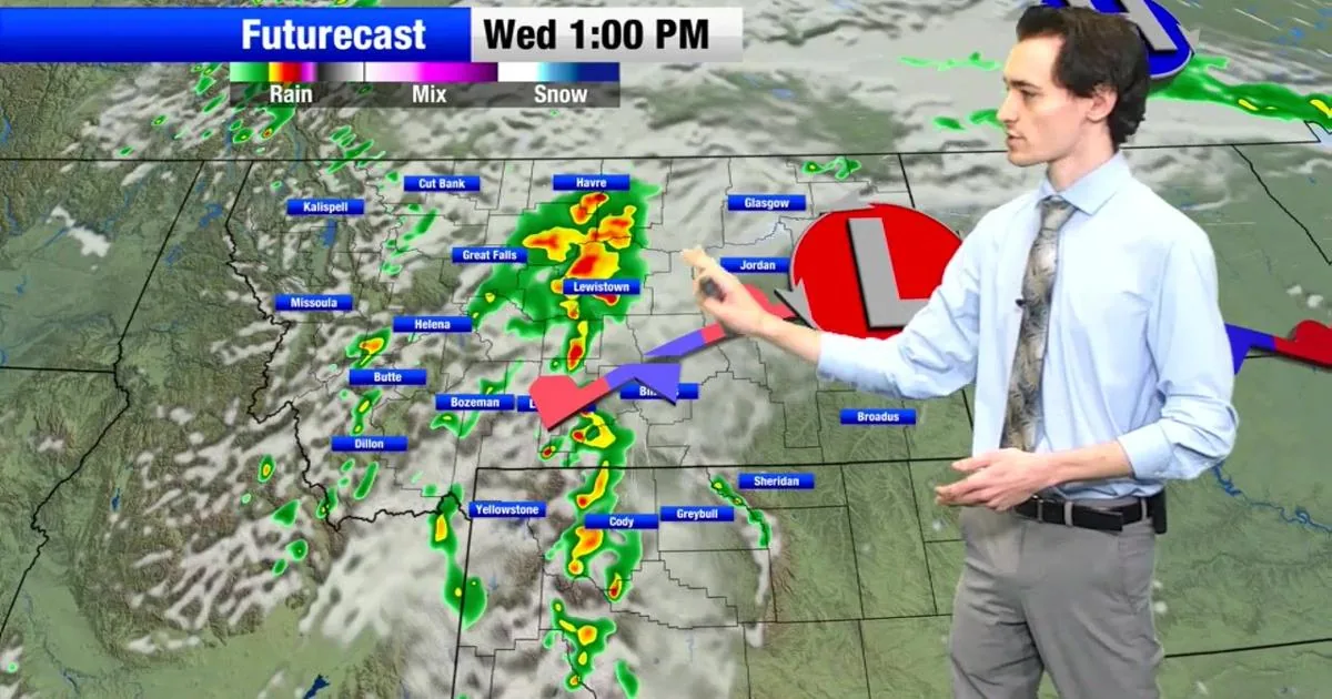
CASPER, WY — A late-season winter storm is bringing heavy snow, strong wind and blowing snow to parts of Wyoming, Montana, Utah, Washington and Oregon, according to the National Weather Service. Forecasts call for as much as 16 inches in the hardest-hit Wyoming mountains, with hazardous travel expected through Sunday and Monday.
The weather service has issued winter storm warnings and winter weather advisories across mountain ranges, foothills and some lower elevations in the West. Officials say visibility could drop quickly and commutes, outdoor plans and mountain travel may all be disrupted.
Wyoming Faces Heaviest Snow
Central and northern Wyoming are expected to see the most severe conditions, with a winter storm warning in place from Sunday night through Monday night. The Wind River Mountains East could get 8 to 16 inches of snow, along with wind gusts up to 50 mph that may create near-whiteout conditions at times.
Other nearby ranges, including Casper Mountain, the Green Mountains and the Rattlesnake Range, are also in line for significant snow. The NWS says travel across those areas could become especially difficult as wind and snowfall combine.
Advisories Spread Across Region
Winter weather advisories also cover the Bighorn Mountains along the Montana-Wyoming border, the Uinta Mountains in Utah, parts of Montana’s Rocky Mountain Front and Glacier region, and the Cascades in Washington and Oregon. In several of those areas, totals range from a few inches to more than a foot, depending on elevation.
Strong winds of 40 to 50 mph are expected to push snow across roads and ridges, cutting visibility and making the highest terrain the most dangerous. The weather service says conditions can change quickly between valleys and mountain passes.
Roads Could Turn Slick
Drivers are being warned about slippery roads, blowing snow and sudden visibility drops on major routes such as South Pass in Wyoming, Highway 14 through the Bighorn Mountains and Interstate 80 in Sweetwater County. Mountain passes in Montana, including Homestake, Rogers and MacDonald passes, are also listed as trouble spots.
The NWS says travelers should slow down, use caution and carry emergency supplies such as a shovel, blankets, food, water and a light source. It says the worst driving conditions could come during periods of heavier snow and stronger wind.
Commutes And Plans Disrupted
The storm is expected to affect Monday morning and evening commutes, especially in Wyoming and Montana. Backcountry travel may also become risky because cold, wet and windy conditions can raise the chance of hypothermia.
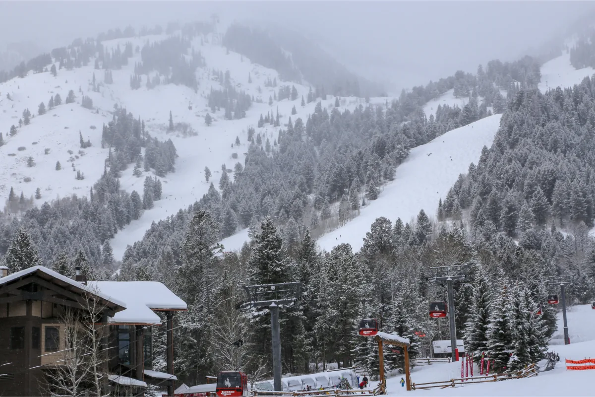
Outdoor activities such as walking and skiing could be difficult in the mountain areas hardest hit by the storm. In parts of the Pacific Northwest, warmer road surfaces may limit buildup on main roads, but the weather service says temporary hazardous conditions are still possible during heavier snow showers.
SpeedReadNews tracks Montana and the surrounding frontier, fast and factual.