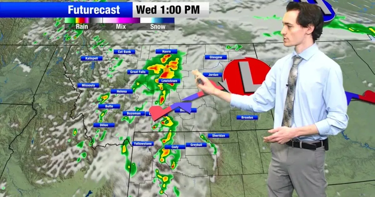
BILLINGS, MT — A round of showers and storms is expected to move into southern Montana, with the chance for isolated strong to severe weather and widespread rain elsewhere in the state. The first storms could develop in western Montana by about 9 a.m. to 10 a.m. and then drift east through the afternoon and evening.
Forecasters say some of the slowest-moving storms may dump heavy rain in a short time, raising the risk of flooding in parts of the region. People are being told to watch for standing water on roads and to plan outdoor events with changing weather in mind.
Flood watch remains posted
A Flood Watch is in effect across southern Montana because repeated or slow-moving storms could produce runoff and low-lying water issues. The warning to avoid driving through standing water remains in place, with the standard reminder to turn around rather than try to cross flooded roads.
The strongest storms are not expected everywhere, but the forecast leaves enough room for isolated severe cells to develop. That means conditions could vary widely from one part of the state to another as the weather system moves through.
Extreme heat lingers east
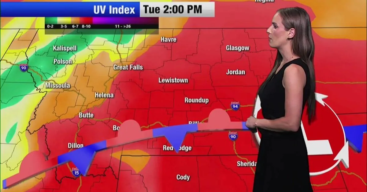
Far eastern Montana remains under an Extreme Heat Warning as temperatures are expected to climb into the high 90s and possibly reach triple digits. Highs across the eastern side of the state may approach 100 degrees, while much of the rest of Montana stays in the 80s and 90s.
Overnight temperatures will stay warm as well, with lows in the 60s and 70s in the east and somewhat cooler conditions farther west.
Lake wind advisory continues
A Lake Wind Advisory is still posted for the area around Fort Peck Lake in northeastern Montana. Winds could reach 25 to 35 mph, creating waves of 2 to 4 feet and rough conditions for smaller boats.
Boaters are being urged to use caution on the water and watch for choppy conditions that can make travel difficult. The advisory adds another hazard on top of the storms and heat affecting other parts of the state.
Temperatures and timing
The forecast calls for a wide spread in conditions across Montana through the day, with storms starting first in the west and progressing eastward later on. That timing means some areas may see rain and lightning in the morning, while others do not get impacts until the afternoon or evening.
With heavy rain, high heat and gusty lake winds all in play, residents are being asked to stay aware of changing conditions and check the latest weather updates before heading out.
SpeedReadNews tracks Montana and the surrounding frontier, fast and factual.