BILLINGS, MT — Dangerous heat is still affecting much of Montana, with advisories and warnings in place across several communities. The weather alert stretches into tonight and early Wednesday in some areas, while other parts of the state are also watching for storms, gusty winds and possible flooding.
Where Heat Alerts Stand
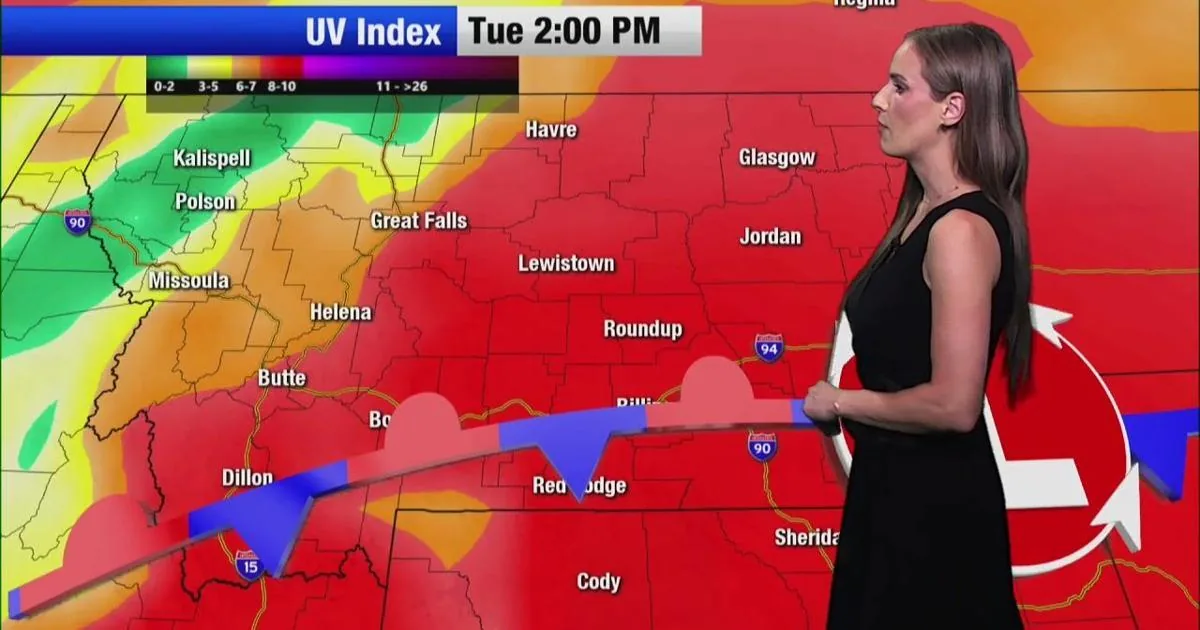
Extreme Heat Advisories remain in effect for the Bozeman, Great Falls, Glasgow and Jordan areas through late tonight or early Wednesday, depending on location. Livingston, Billings, Miles City and Sheridan are under Extreme Heat Warnings through midnight or 2 a.m.
The forecast keeps overnight lows mostly in the 60s and 70s, which offers limited relief before temperatures climb again.
Storms Bring New Concerns
A Lake Wind Advisory is posted for Fort Peck Lake from Tuesday into Wednesday, with gusts expected to reach 35 mph. Thunderstorms moving in could add rough conditions on the water and in exposed areas.
Flood Watches are also in place for Tuesday from Great Falls and Lewistown to Helena and Bozeman. Forecasters say storms may bring heavy bursts of rain capable of causing flash flooding.
Safety Tips For The Heat
Officials are urging people to stay in the shade and keep drinking water, especially as highs return to the 90s and 100s on Tuesday. The guidance also includes checking the back seat of parked vehicles, looking in on neighbors and family, and caring for livestock and outdoor pets.
Drivers are being reminded to make sure trailer chains do not drag and to avoid parking or starting vehicles on dry grass, where fire risk can rise quickly.
Warm Pattern Stretches On
The heat is expected to hold across Montana through the next seven days, with temperatures staying above the mid-July average in the 80s. Thunderstorms are expected to move out later in the week before another sunny weekend arrives.
The longer-range outlook points to more warm weather ahead, along with a trend toward increased precipitation.
SpeedReadNews tracks Montana and the surrounding frontier, fast and factual.