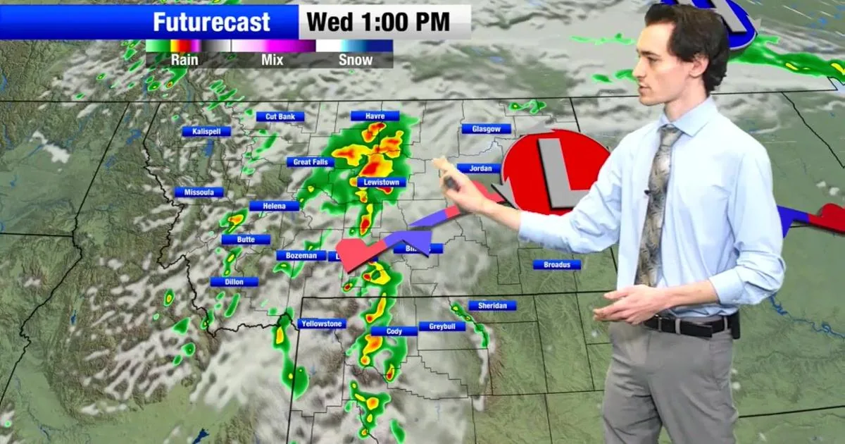
HELENA, MT — An early summer storm is bringing heavy rain, strong winds, severe weather chances and mountain snow to Montana through the weekend and into Monday. Forecasters say the weather will be especially unsettled in southwest Montana, where winter storm alerts have been posted for higher elevations.
Weekend Weather Pattern
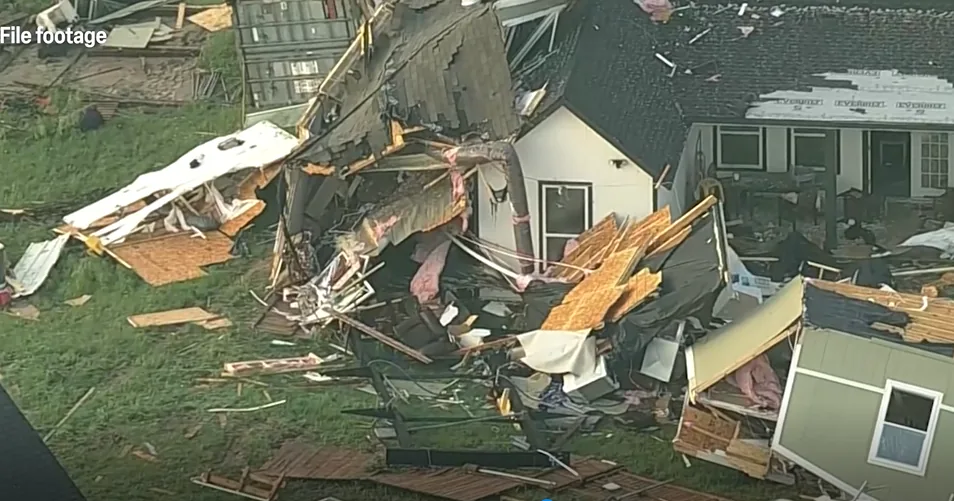
Rain and a few thunderstorms are expected to spread across the state Saturday, with some severe storms possible in far eastern Montana during the afternoon and evening. High temperatures should drop into the 60s.
By Sunday, the state is expected to stay cloudy, rainy and windy, with steady soaking rain in some areas. Temperatures are forecast to top out in the 50s and 60s.
Mountain Snow Chances
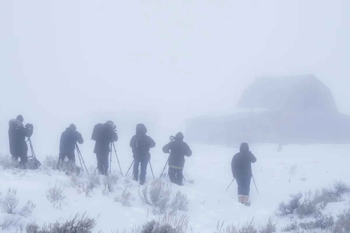
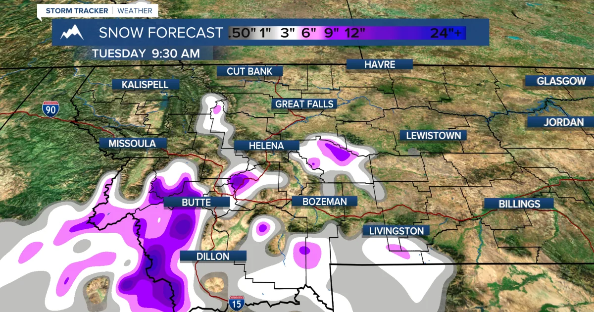
The mountains above 6,500 feet are expected to stay cold enough for significant snow accumulation. Forecasters say some peaks could see up to a foot of snow, and a few spots may approach 24 inches.
A winter storm warning and a winter weather advisory have been issued for higher elevations of southwest Montana into Monday.
Flooding Concerns
Rainfall totals are generally expected to range from half an inch to 2 inches, though heavier amounts could fall in some areas. That raises the possibility of flooding around Glacier, the Rocky Mountain Front and the Continental Divide.
Areas of heavy rain may continue into Sunday night and Monday before the storm slowly moves out Monday evening into Tuesday.
After The Storm
Even after the main system passes, scattered showers and thunderstorms are expected to linger through next week. The forecast suggests a cooler, wet stretch heading into the holiday period before Independence Day weekend.
SpeedReadNews tracks Montana and the surrounding frontier, fast and factual.