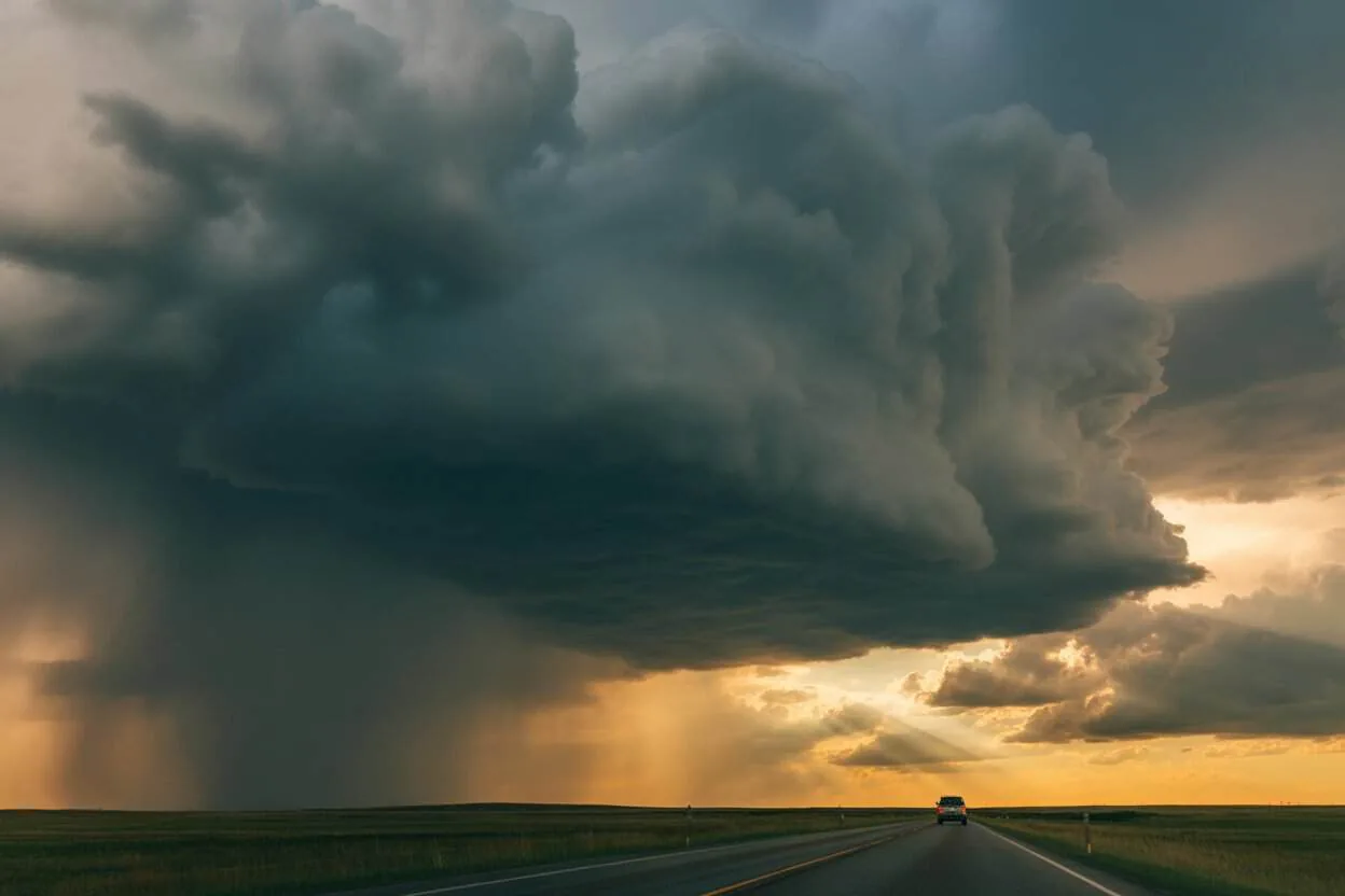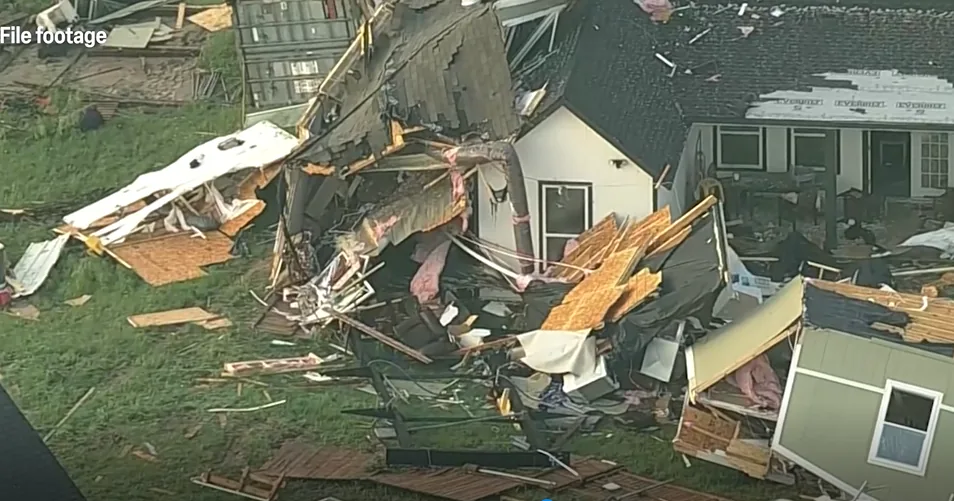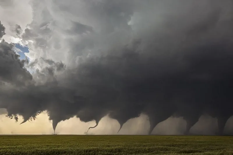
WASHINGTON, DC — Forecasters are warning that a broad severe weather outbreak could hit parts of the U.S. on Sunday and Monday, with the main hazards including large hail, damaging wind gusts and strong tornadoes. Warm, muggy air ahead of a strong cold front is expected to help storms form Sunday, then fuel another round as the system pushes east.
High Risk In the Plains
The Storm Prediction Center said a volatile setup is expected Sunday across parts of Nebraska, South Dakota, Minnesota and Iowa, where an enhanced risk has been posted. Central and eastern Nebraska, including Lincoln and Omaha, along with western Iowa, southwestern Minnesota and southeastern South Dakota, have the highest tornado concern.
That area carries a 5% to 15% tornado probability, which forecasters say includes the chance of strong tornadoes that could reach EF2 strength. Storms in the same zone could also produce wind gusts above 75 mph and hail up to 2 inches across.
Monday Threat Shifts East
By Monday, the front and storm system are expected to move east, and the risk of severe weather expands with it. The National Weather Service upgraded northeastern Kansas to a moderate risk, or level 4 out of 5, for Monday, while other threats stretch from the western Great Lakes to central Texas and east to Paducah, Kentucky.
Forecasters say the combination of surface moisture and the cold front could quickly turn storms severe during afternoon heating. Large hail up to 4 inches in diameter, damaging winds and tornadoes stronger than EF2 are all possible.
Tuesday Still Carries Risk
The severe threat is expected to keep shifting east on Tuesday, when at least a slight risk remains in parts of the Midwest and nearby states. The area includes southern Michigan, northern Indiana, central and southern Illinois, southern Missouri, northern Arkansas and eastern Oklahoma.
In that later round, damaging wind gusts and large hail are expected to be the main concerns. Forecasters say the system should still be watched closely even after the first two days of severe weather pass.
How The Outlook Works
The Storm Prediction Center uses a five-level scale to describe severe weather risk across the country, starting with marginal and ending with high risk. Higher categories mean either more intense storms or a broader area of concern.
Officials say people in the risk zones should follow updates from their local National Weather Service office and trusted local meteorologists. They also urge households to have a severe weather plan and more than one way to receive warnings.
SpeedReadNews tracks Montana and the surrounding frontier, fast and factual.