Storms Move Through Tonight
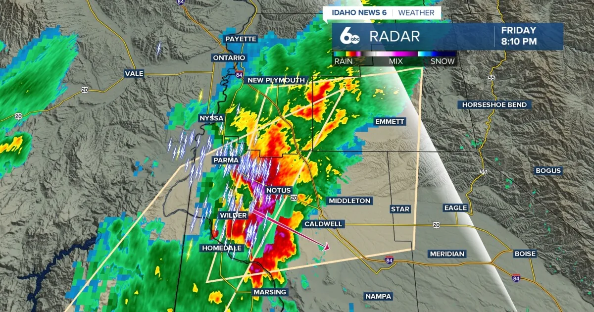
SPOKANE, WA — A strong cold front is pushing across the Inland Northwest and is bringing a better chance for showers and thunderstorms from Idaho into Montana. The unsettled weather is expected to continue overnight as the front works through the region.
Clouds And Showers Continue
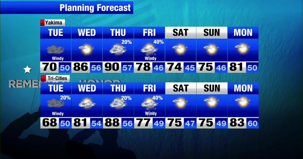
Forecasts call for cloudy skies and showers to stick around through Tuesday as the low-pressure system slides farther south. That keeps the weather pattern damp and unsettled for much of the day.
Brief Midweek Warmup
Another round of hot weather is expected Wednesday and Thursday as a short-lived area of high pressure settles in. Temperatures should reach near 85 degrees in both Spokane and Coeur d’Alene.
Later Week Pattern Changes
By Thursday afternoon, the calmer stretch begins to break down as another low-pressure system moves in. That system is expected to raise the chances for rain and storms again through Friday and into the early weekend.
What Residents Can Expect
The overall forecast points to a quick swing from stormy weather to brief heat and then back to a wetter pattern. For people across the Inland Northwest, that means conditions will stay changeable through the end of the week.
SpeedReadNews tracks Montana and the surrounding frontier, fast and factual.