DENVER, CO — Winter weather is moving into the Mountain West, with the National Weather Service warning that heavy snow and strong winds could make travel dangerous from Sunday into Monday. Parts of Colorado, Wyoming and Montana are under winter weather advisories as forecasters expect blowing snow, slick roads and sharply reduced visibility.
The heaviest totals are expected in Colorado and Wyoming, where some locations could see between 3 and 12 inches of snow by Sunday night or Monday morning.
Colorado and Wyoming hit hardest
In Colorado, the south central mountains, including the eastern Sawatch and San Juan Mountains, could get 5 to 10 inches of snow with wind gusts up to 45 mph through Sunday night. The NWS said blowing snow will cut visibility and could make travel very difficult.
Central and western Colorado, including the Flat Tops, Battlement Mesas and West Elk Mountains, could see as much as 12 inches along with the same strong winds.
Travel problems expected
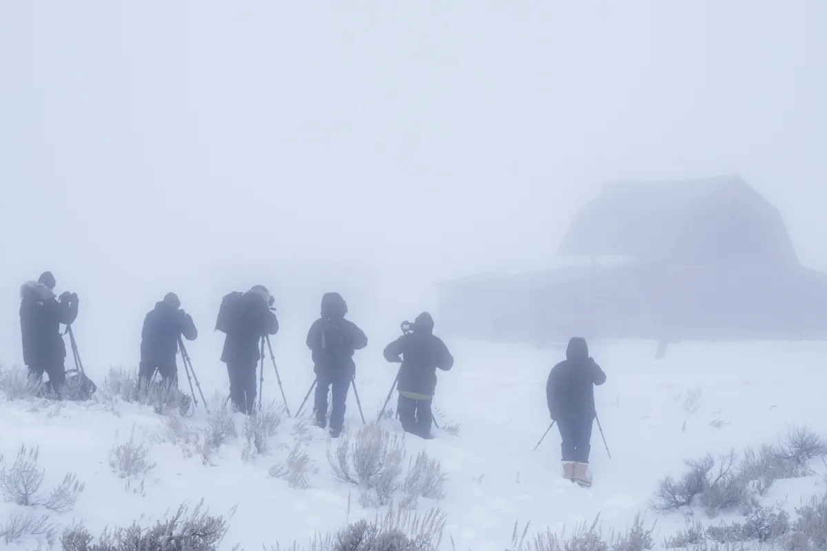
Wyoming is also in line for a rough stretch, especially the Sierra Madre and Snowy Ranges, where 6 to 12 inches of snow could fall through Sunday night and into Monday morning. Hikers, hunters and snowmobilers were told conditions could be dangerous because falling and blowing snow may leave people disoriented.
Drivers were urged to watch for slippery roads, especially along Interstates 25 and 90 north and east of Buffalo. Parts of north-central and northwest Wyoming could also get 3 to 10 inches, which may affect the Monday morning commute.
Montana mountains affected
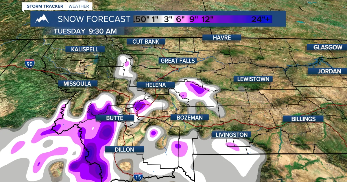
Montana is expected to see lighter but still disruptive snowfall in several zones. Along the Rocky Mountain Front, including Marias Pass, forecasters said up to 6 inches could fall by Sunday noon, while plains and foothills may see less.
In south-central and south-central eastern Montana, including the Pryor Mountains and the northern Bighorn Mountains near the Wyoming border, 4 to 9 inches are possible from Sunday afternoon through Monday noon.
Advisory and outlook ahead
The NWS said a winter weather advisory means hazardous conditions are likely, even if the storm does not meet the threshold for a warning. The agency said that can still mean slippery roads, poor visibility and disruptions to daily routines.
Officials recommend limiting travel, slowing down if driving is unavoidable, dressing in warm layers, checking road and weather updates often, and keeping emergency supplies on hand. After the weekend storm, the forecast calls for more typical early-week weather, with only scattered snow showers and little or no accumulation expected.
SpeedReadNews tracks Montana and the surrounding frontier, fast and factual.