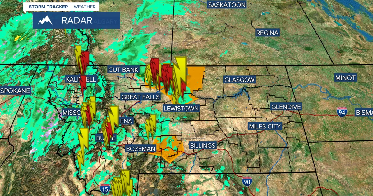
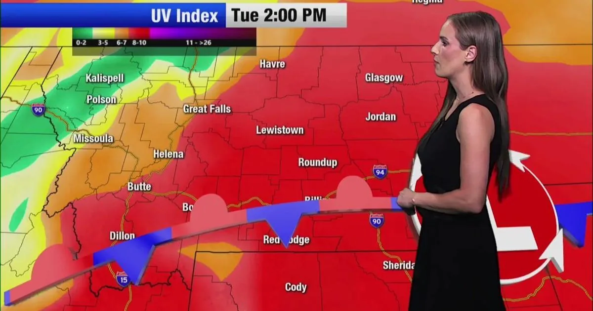
SPOKANE, WA — An unusual weather pattern has turned into a multi-day storm and flooding threat across the Northwest, with the first Severe Thunderstorm Watch in 600 days issued for parts of Eastern Washington and Eastern Oregon on Thursday. The setup is now pushing into Idaho and Montana, where heavy rain, strong storms and localized flash flooding are expected into the weekend.
Damaging winds and outages
Wind gusts up to 80 mph were reported to NOAA in Eastern Oregon, and thousands of customers were still without power early Friday across the region, according to Poweroutage.us. Video from Spokane showed a large tree bringing down power lines in a neighborhood Thursday evening.
The Spokane Valley Fire Department also responded to a house fire that officials said was initially reported as being caused by a lightning strike.
Storm risk spreads east
By Friday, thunderstorms were expected to move into Idaho and Montana with the chance for severe weather, including large hail and even a weak tornado. The FOX Forecast Center said severe thunderstorm watches are rare in this part of the inland Northwest, where May storms are usually limited.
Flood threat lasts into Monday
The same system is forecast to bring heavy rain through Monday, with some spots seeing 2 to 3 inches of accumulation, including areas near Yellowstone National Park. A broad Level 1 out of 4 flash flood threat covers most of Montana through the weekend, along with northern Wyoming.
A wet month in one system
Forecasters said the event could dump as much rain in parts of the Northern Plains as the region typically gets during the entire month of May. The combination of rain, wind and lightning means the hazard will not be limited to one state or one day, but spread across a wide stretch of the inland Northwest.
SpeedReadNews tracks Montana and the surrounding frontier, fast and factual.