Storms roll across the state
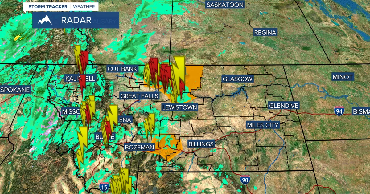
HELENA, MT — Severe thunderstorms have already moved through many Montana towns, bringing heavy rain, damaging wind and some hail. The storm system is expected to keep affecting the state through Thursday.
A severe thunderstorm watch remains in effect until 9 p.m., along with a high wind warning for much of Montana from Wednesday night into Thursday.
Wind is the main threat
Forecasters said the most likely severe impact will be strong, damaging wind as scattered storms continue through Wednesday evening. Some of those storms may also produce heavy rain.
A powerful cold front is then expected to sweep through Wednesday night into Thursday, bringing more thunderstorms, rain, mountain snow and strong wind.
Glacier region sees winter advisory
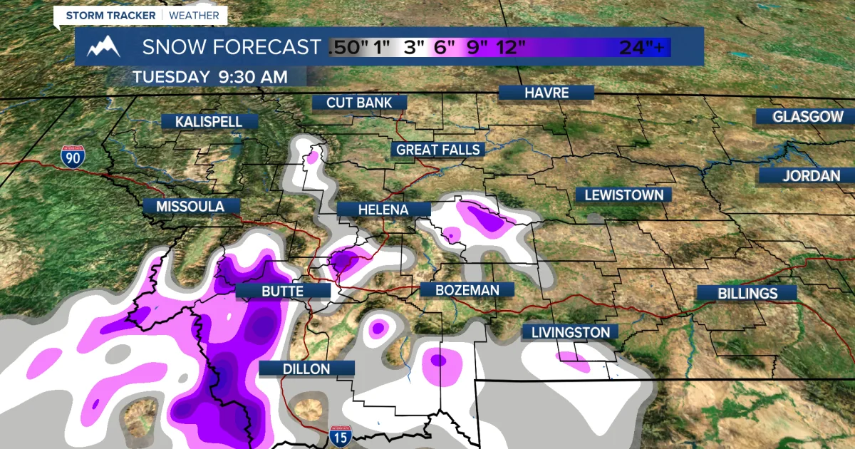
A winter weather advisory has been posted for the Glacier region for Wednesday night into Thursday. The forecast calls for snow in the mountains as the front moves through, with snow levels possibly dropping below 5,000 feet by Sunday.
Thursday is expected to turn partly to mostly sunny, but the wind is likely to stay strong all day, especially along the Hi-Line.
Strong gusts into Thursday
Some wind gusts could reach 60 to 85 mph, according to the forecast. High temperatures Thursday are expected to stay in the 50s and 60s.
Friday should be partly cloudy with an isolated shower or thunderstorm in lower elevations and a few snow showers in the mountains. Highs are expected to remain in the 50s and 60s.
Unsettled stretch ahead
The weekend is expected to stay more active than the last, with scattered showers and thunderstorms on Saturday and mountain snow showers likely. Sunday should stay unsettled as well, with mostly cloudy skies, scattered showers and mountain snow showers.
Forecasters said active weather may continue into next week and Memorial Day weekend, which they described as typical for this time of year.
SpeedReadNews tracks Montana and the surrounding frontier, fast and factual.