Storm threat spreads across the Plains
BISMARCK, ND — A developing severe weather pattern is putting North Dakota and seven neighboring states under close watch as forecasters track the risk of tornadoes, giant hail and damaging winds. The storm system is expected to affect a broad stretch of the Northern Plains and Upper Midwest during the busy summer travel season.
Officials and weather agencies are urging people to keep an eye on alerts as conditions change quickly. The concern is not limited to one state, since the same system could affect roads, airports and outdoor destinations across the region.
Why meteorologists are concerned
Forecasters say the setup includes moist air moving north, colder air aloft and strong wind changes with height, all of which favor rotating thunderstorms. Forecast discussions cited CAPE values around 1,500 to 2,500 J/kg, enough to support strong storm development.
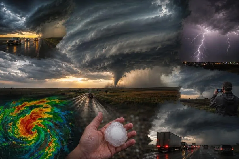
That mix can help produce supercells, the kind of storms most often linked to tornadoes and large hail. The risk is especially troubling because some storms may form in the afternoon and then grow into larger systems overnight.
North Dakota at highest risk
North Dakota is the state drawing the most attention in the forecast, especially western and central areas. Meteorologists say supercells there could bring tornadoes, large hail, damaging straight-line winds and some flash flooding.
Interstate 94, including the corridor between Bismarck and Jamestown, is expected to face the greatest weather-related disruption. Travelers could run into poor visibility, delays and turbulence that affect both driving and aviation.
Impacts beyond one state
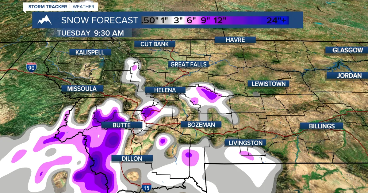
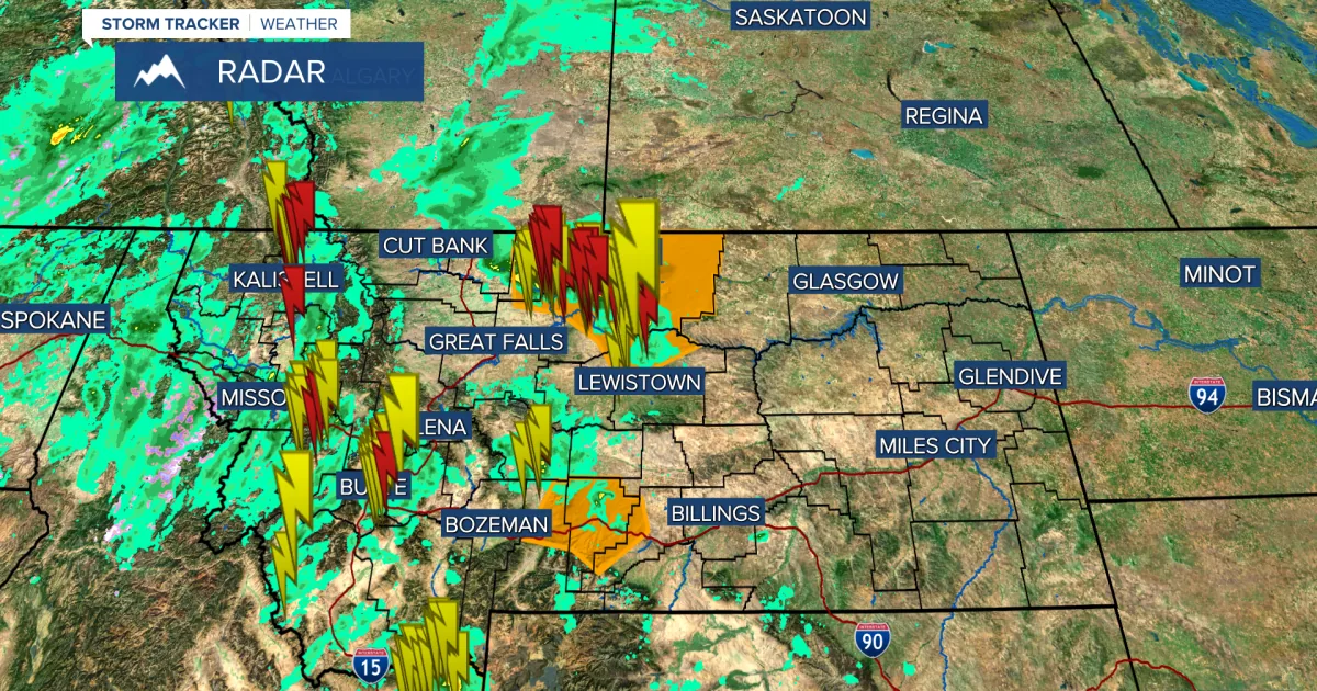
South Dakota, Nebraska, Iowa, Minnesota, Montana, Wyoming and Kansas are also in the path of concern, though the exact threats vary by location. South Dakota may see repeated storms, while Iowa faces hail and isolated tornado risk and Minnesota could see wider wind damage.
The forecast also points to hazards on Interstate 90, Interstate 29, Interstate 25 and other major routes. Tourism areas near the Black Hills, Yellowstone gateway communities, lake country in Minnesota and outdoor sites in Montana could all see interruptions if warnings expand.
Travelers told to stay flexible
Weather experts are telling road travelers, airline passengers and vacationers to check forecasts often and be ready to change plans. Thunderstorms in the Plains can move fast, and nighttime events are considered especially dangerous because visibility is lower and warnings may come after people are already asleep.
Transportation agencies, airlines and freight operators are watching the system closely because delays can ripple across supply chains and passenger schedules. For people already on the road, the safest move is to know where sturdy shelter is available before storms arrive.
SpeedReadNews tracks Montana and the surrounding frontier, fast and factual.