HELENA, MT — Montana is headed into another hot day after a weekend of record-setting temperatures, with readings again climbing into the 90s and some places in the triple digits. Heat Advisories and Extreme Heat Warnings remain in effect for central and eastern Montana, along with northern Wyoming, and are expected to last through the day before ending over the next few days.
Forecasters are also tracking the chance for isolated strong to severe storms in central Montana, with a Level 1 out of 5 risk in place. The main concern is damaging wind gusts of 60 mph or higher.
Storms Could Build This Afternoon
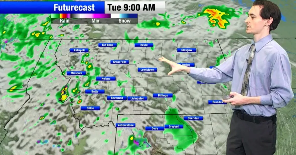
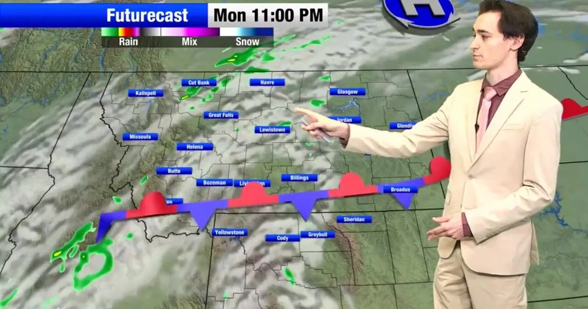
The storms are expected to develop near the Idaho-Montana border during the early afternoon and then move north and east as they strengthen. By around 6 p.m., forecasters expect the storms to be more mature, bringing rain and wind across parts of central Montana.
Some low-lying areas could also face brief flooding as the storms move through. Another round of showers and storms is possible in the same areas on Friday.
Heat Remains The Main Concern
High temperatures today should stay well into the 80s and 90s, with some locations in eastern Montana reaching the low 100s. Overnight lows will not bring much relief, with temperatures staying in the 60s and 70s.
The warm pattern means conditions remain stressful for anyone spending time outside, especially during the hottest part of the afternoon.
Precautions For Outdoor Exposure
Officials are urging people to take standard heat precautions while the advisories are in place. That includes drinking plenty of water, taking breaks indoors when possible, and limiting time in the sun during extended outdoor activity.
Families are also being reminded to keep children and pets safe in the heat, where temperatures can rise quickly even when the air feels only moderately warm.
What Residents Should Watch
Residents in central and eastern Montana should keep an eye on changing weather conditions through the afternoon and evening, especially where storms may bring stronger wind and heavy rain. Areas with standing water or poor drainage could see minor flooding if the heaviest cells pass overhead.
The current setup combines lingering heat with a storm chance, making for a day that could turn quickly from hot and quiet to wet and windy.
SpeedReadNews tracks Montana and the surrounding frontier, fast and factual.