BISMARCK, ND — Millions of people across the Northern Plains are facing a hazardous weather setup that could bring tornadoes, large hail and damaging winds within hours. Forecasters say the main area of concern stretches across North Dakota, South Dakota, Nebraska, Iowa and Minnesota.
Meteorologists said the threat could intensify quickly as storms develop Tuesday afternoon and continue into Wednesday.
Where the threat is highest
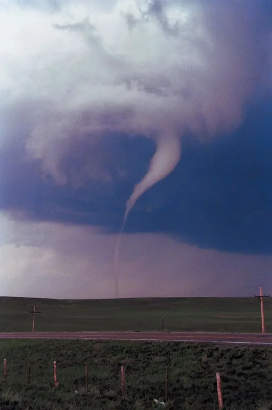
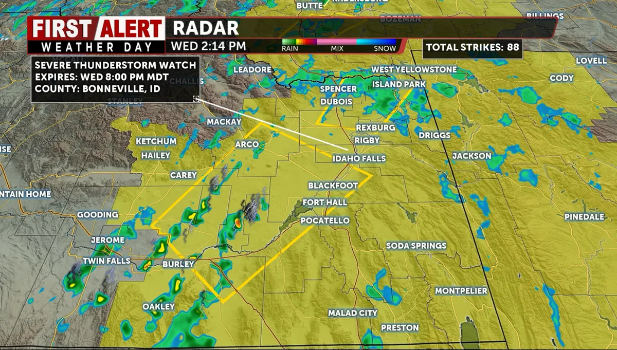
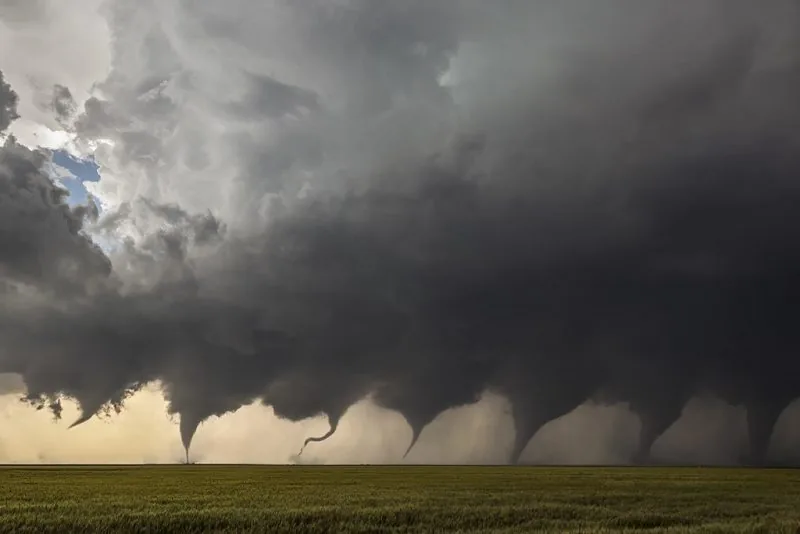
Weather officials say the strongest risk is centered on western and central North Dakota, where storms may produce tornadoes, golf ball-sized hail and wind gusts up to 70 mph. A broader five percent tornado risk covers much of the Northern Plains, while some parts of North and South Dakota face a higher 10 percent risk within 25 miles of a point.
The Storm Prediction Center and the National Weather Service are also pointing to South Dakota as a state likely to see multiple rounds of severe weather through Thursday.
Timing and storm setup
The most dangerous window is expected from about 5 p.m. MDT Tuesday to 2 a.m. CDT Wednesday, when storms over the higher terrain of eastern Montana and Wyoming are expected to organize and move east. Forecasters say that line could track along the I-94 and I-90 corridors and produce widespread straight-line wind gusts of 70 to 90 mph.
Daytime heating, moisture and wind shear are feeding the setup needed for rotating supercells.
What residents may see
Early in the event, isolated supercells could drop hail 2 inches across or larger. Once the system becomes more organized overnight, the main concern shifts toward damaging winds, with some localized gusts near 90 mph.
A secondary surface low along the North Dakota and South Dakota border could bring another tornado risk on Wednesday afternoon.
How officials say to prepare
Weather forecasters are urging people in the Northern Plains to stay alert and make sure they have several ways to receive warnings. They say conditions can change fast once storms start forming, especially in areas already under severe weather watches and warnings.
Officials also note a slight flash flooding risk for North Dakota today, adding another layer to an already unsettled forecast.
SpeedReadNews tracks Montana and the surrounding frontier, fast and factual.