HELENA, MT — Unseasonably warm weather spread across Montana on Monday, with highs climbing into the 80s in places such as Glendive and Miles City and most other areas reaching the 70s. Those temperatures were well above the seasonal normal range for mid-May.
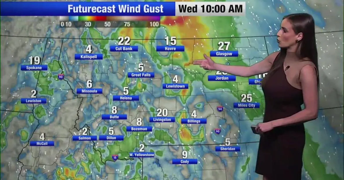
Wind also picked up through the afternoon, with gusts reaching 51 mph in Jordan, 49 mph in Glasgow and 36 mph in Helena.
Fire Danger Across the East
A Lake Wind Advisory stayed in effect through 9 p.m. for Fort Peck Lake, where gusts up to 45 mph could make conditions hazardous on the water. Red Flag Warnings also remained in place through 8 p.m. between Glasgow and Miles City because of strong wind and humidity as low as 15 percent.
Fire Weather Watches were posted for Havre, Butte and Dillon for Wednesday afternoon and evening. Dry weather was expected to hold across much of the region early in the week, keeping the fire concern in place.
Snowmelt Raises Flood Risk
In south-central Montana, rapid snowmelt is raising concern for flooding along the Yellowstone River and the Clark Fork of the Yellowstone. Forecasters said river levels could rise sharply and create fast, cold and dangerous water.
Rain was expected to develop Wednesday across much of the region, offering some much-needed moisture to the state.
Warm Nights and Tuesday
Overnight lows were forecast to dip into the 40s statewide, before temperatures climbed back into the 70s and 80s on Tuesday. Missoula was expected to be the warmest spot in the state, with a forecast high of 89 degrees, just short of the city’s May 12 record of 91 set in 1993.
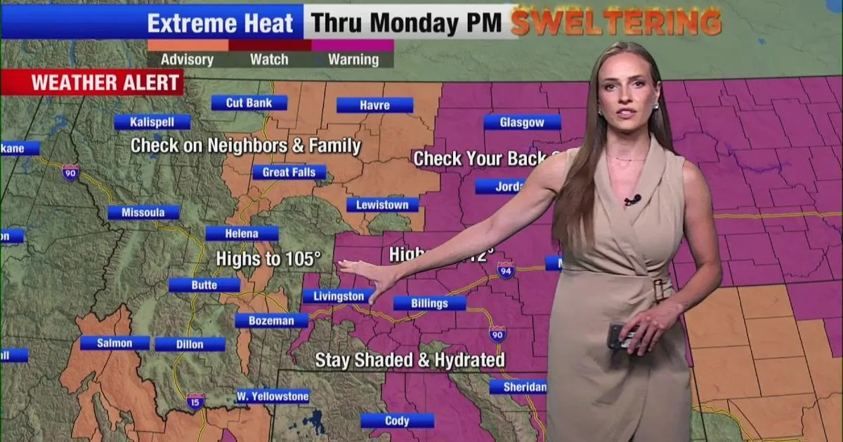
The hot stretch was expected to continue statewide through the end of the week before more seasonal temperatures return this weekend.
Week Ahead Outlook
Forecasters said the next seven days should stay warm, with the pattern easing toward more normal conditions by the weekend. The longer-range outlook for May 19 through May 25 points to temperatures and precipitation near seasonal averages.
That would bring a shift away from the dry, windy setup that has been driving both fire weather and flood concerns.
SpeedReadNews tracks Montana and the surrounding frontier, fast and factual.