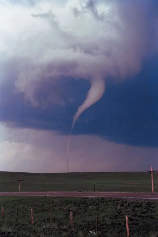
MITCHELL, SD — The National Weather Service issued a new tornado warning at 7:10 p.m. Sunday for eastern McCook County and west Minnehaha County as a storm system continued tracking northeast. The warning covers Humboldt and Greenland and runs until 7:45 p.m.
Officials said the cell is moving at about 15 mph, which is allowing it to dump heavy rain over the same areas as it passes. The threat includes flash flooding, hail, high winds and the chance of a tornado.
Earlier Warning Expired
About 25 minutes earlier, the Weather Service office in Sioux Falls allowed an earlier tornado warning for McCook County to expire. That update came at 6:45 p.m. Sunday after spotters had reported a likely tornado on the ground near Bridgewater.
The storm was then moving northeast toward Interstate 90, with the warning set to expire at 6:45 p.m. before the newer alert was issued.
Severe Thunderstorm Threat
Even with the tornado warning updated, a severe thunderstorm warning remained in effect for the same general area. That warning carried the risk of one-inch hail, wind gusts up to 60 mph and heavy rain.
Forecast rainfall totals in the warning area were reported at as much as 2.5 inches, which kept the flood threat in play through about 9 p.m.
Storm Track Northeast
The storm was moving toward Montrose and Salem, with weather officials watching its path closely as it continued across southeast South Dakota. The slow pace of the system was a major concern because it could keep intense weather over the same communities for an extended stretch.
Residents in the warning area were facing a mix of hazards, including rapidly changing conditions, localized flooding and damaging winds.
Warnings Stay In Place
The new tornado warning was scheduled to remain active until 7:45 p.m., while the severe thunderstorm warning was set to last until 7:15 p.m. Flash flooding concerns were expected to continue beyond the thunderstorm alert, with the potential to linger until around 9 p.m.
The latest alerts covered a corridor stretching from McCook County into western Minnehaha County as the storm pushed northeast.
SpeedReadNews tracks Montana and the surrounding frontier, fast and factual.