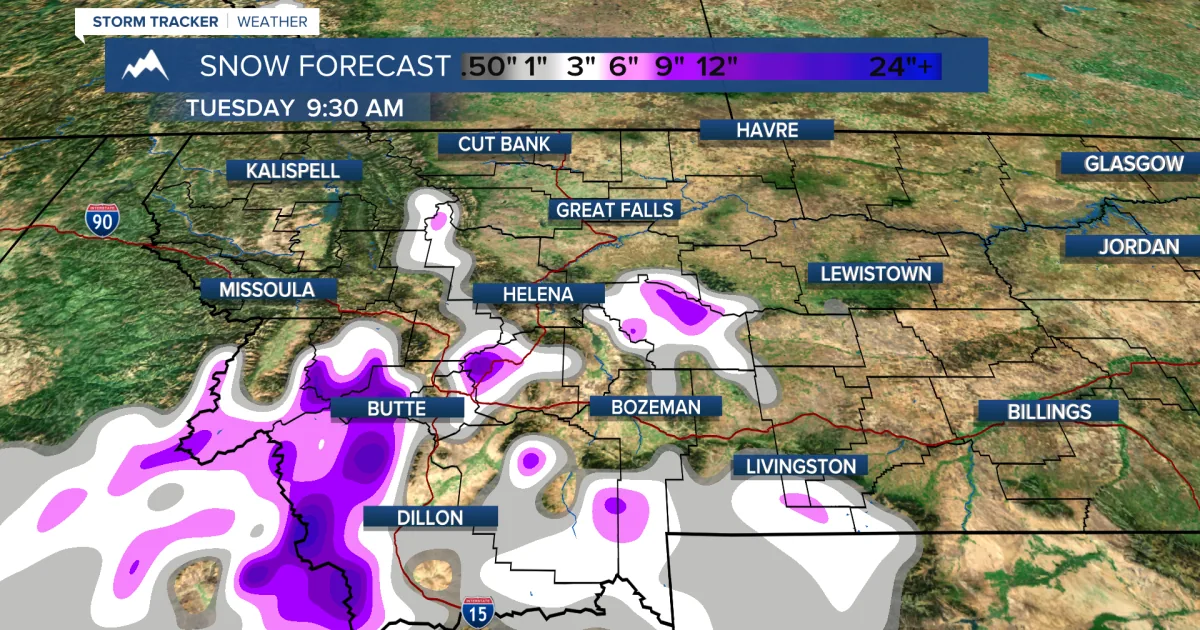
MISSOULA, MT — A late-season winter system is expected to bring up to 6 inches of wet snow and wind gusts above 60 mph to parts of Glacier National Park and nearby areas in Montana. The National Weather Service says the mix of snow, wind and falling temperatures could make travel and time outdoors hazardous from Wednesday night into Thursday afternoon.
The warning covers the East and West Glacier regions, with the worst conditions expected above 5,000 to 5,500 feet. Officials say the backcountry and high mountain passes could be especially dangerous for anyone without proper gear.
Where Impacts Will Hit
The strongest effects are expected around East Glacier Park, including Kiowa, Marias Pass, Saint Mary and Logan Pass, along with much of the West Glacier side of the park. Wet, heavy snow combined with strong wind should create the most trouble in elevated terrain.
Lower elevations may see less accumulation, but slushy roads, blowing snow and reduced visibility are still possible. The weather service warned that falling branches could also become a problem where gusts are strongest.
Travel Through The Park
Drivers crossing Glacier National Park should expect deteriorating conditions, especially overnight Wednesday and into Thursday afternoon. Mountain roads are likely to be the most affected, with Logan Pass and Marias Pass singled out as hazardous routes.
No widespread highway closures were announced in the advisory, but travel could still slow sharply on slushy, snow-covered roads. Officials advised drivers to slow down, leave extra time and carry emergency supplies when heading into higher elevations.
Backcountry Safety Concerns
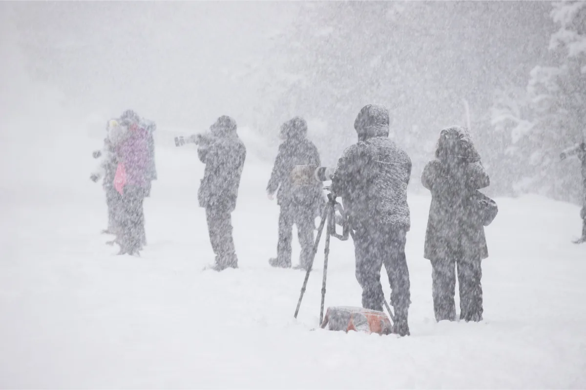
The weather service also warned of a serious hypothermia risk for hikers, campers and anyone caught outside unprepared. Wet snow and strong wind can pull body heat away quickly, even when the amount of snowfall is not especially deep.
Park visitors were urged to dress in warm, waterproof layers, follow local weather updates and avoid unnecessary travel through high terrain. The concern is less about storm totals alone and more about how fast conditions can turn in mountainous country.
Weekend Outlook Improves
The latest forecast does not point to another major snow event for Montana after this system passes. The National Weather Service expects a cooler, more unsettled weekend with some rain Saturday and only a slight chance of a brief rain-snow mix early Sunday.
Daytime temperatures should rise back near 50 degrees on Sunday and into the upper 50s by Monday. That means any late weekend flakes are not expected to stick or add up in a meaningful way.
SpeedReadNews tracks Montana and the surrounding frontier, fast and factual.