MISSOULA, MT — Western Montana remains in an active storm pattern as moisture moves through the region from southwest flow aloft. Forecasters say many places will see more clouds and higher humidity, but isolated to scattered thunderstorms are still possible this afternoon and evening.
The main concern today is gusty outflow winds, while a stronger round of storms could develop Thursday if skies clear enough to add instability. Parts of the Northern Rockies, including Missoula, Butte and Bozeman, are under a slight risk for severe weather.
Storm Hazards to Watch
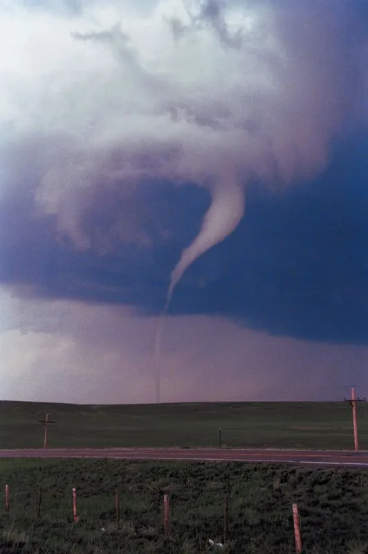
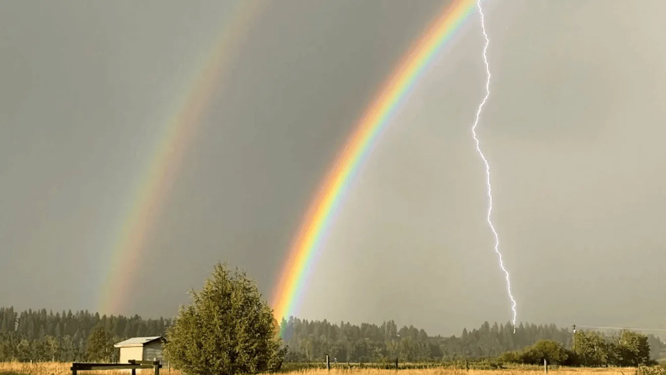
Any storms that form could bring erratic winds of 40 to 60 mph or higher, hail larger than an inch, lightning and brief heavy rain. Forecasters say the strongest storms may arrive during the afternoon and evening hours.
Thunderstorm chances are expected to continue at least through Friday as temperatures rise into the upper 80s and 90s. The storm threat should ease for many areas by Saturday as the Pacific low pressure system moves north of the region.
Flood Watches in Place
Flood and flash flood watches are posted for areas east of the divide. A flood watch remains in effect until late Wednesday night for the Crazy Mountains, Paradise Valley, the Livingston area and northern Park County.
Officials warn that excess runoff could lead to flooding in rivers, creeks, low-lying spots and areas with poor drainage, including urban locations.
Burn Scar Risk Near Horse Gulch
A flash flood watch is also in effect Thursday afternoon and evening for the Big Belt, Bridger and Castle mountains, especially around the Horse Gulch Fire burn scar. Heavy rain over the burn scar could produce rainfall rates of 0.25 to 0.75 inches per hour during thunderstorms.
Residents near the burn scar are being told to prepare for possible debris flows and to stay alert to updates from local authorities. Heavy rainfall in and near recent wildfire areas can trigger flash flooding and debris movement quickly.
Weather Trend Into Weekend
By Saturday, the Pacific storm system is expected to lift north of the area, bringing a drop in thunderstorm chances outside southwest Montana. The day could also turn breezier as the pressure difference grows between low pressure over Canada and high pressure over the Desert Southwest.
For now, the forecast keeps western Montana in a stretch of unsettled weather, with the most serious risks tied to strong winds, hail and localized flooding.
SpeedReadNews tracks Montana and the surrounding frontier, fast and factual.