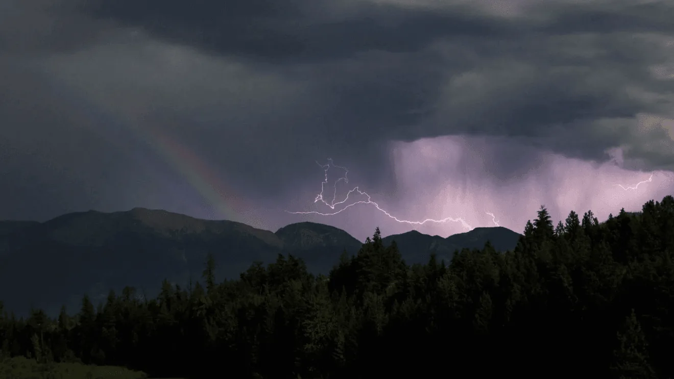
MISSOULA, MT — A weekend storm is bringing cooler weather, valley rain, and heavy snow in the mountains across western Montana and nearby Idaho. Watches and warnings are in place through Monday, with travel expected to get difficult in higher terrain and at several mountain passes.
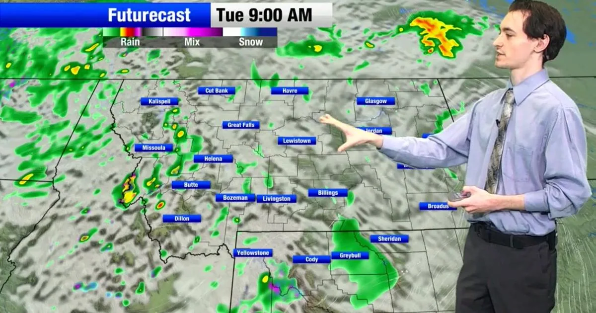
Areas south of Missoula and Helena could see an inch or more of rain through tomorrow, while northwest Montana may pick up the heaviest totals from Sunday into Monday. Forecasters say the conditions will stay cold and raw, especially around Glacier National Park and other higher elevations.
Warnings for Higher Terrain
Winter Storm Warnings are posted for several mountain regions, including sections above 6,500 feet in western and eastern Lemhi County, the Butte and Blackfoot region, and the Bitterroot and Sapphire Mountains. Northwest Beaverhead County is also under a warning, with snow expected at pass level and much deeper accumulation in the higher country.
The warnings call for 4 to 8 inches of snow in several areas, with up to a foot or more on the highest peaks and as much as 8 to 16 inches in the Anaconda Pintler Mountains. The National Weather Service says travelers crossing Homestake, MacDonald, and Lost Trail passes could see rain change to a rain and snow mix overnight.
Advisories Around Passes
Winter Weather Advisories cover the Elkhorn, Boulder, Ruby, Southern Beaverhead, Gallatin, Madison, and Centennial mountain ranges, where up to 5 inches of snow is possible above 6,500 feet. Localized totals near the highest peaks could exceed 9 inches.
Another advisory is in place for the Absaroka and Beartooth Mountains, including the Beartooth Highway, where 1 to 3 inches of snow is expected. Wind gusts could reach 40 mph tonight into Sunday, then increase to 55 mph Monday.
Flood Concerns Near Glacier
A Flood Watch begins Sunday evening and runs through Tuesday morning for the East Glacier Park region, including the east side of Glacier National Park. Rainfall totals of 2 to 4 inches are possible, and officials warn that runoff could swell rivers, creeks, streams, and other low-lying or flood-prone spots.
Elsewhere in northwest Montana, 1 to 3 inches of rain may fall in some places, adding to the concern for high water and muddy travel. The strongest impacts are expected around Glacier National Park and the Mission and Swan Mountains.
Looking Into Next Week
Fog and low clouds may show up on Tuesday, and unsettled weather is expected to linger through much of next week. That means the storm pattern is not likely to clear out quickly once the rain and mountain snow taper off.
For now, forecasters are urging anyone headed into the mountains to plan for cold conditions, reduced visibility, and changing road surfaces. The weather service says the combination of snow, rain, wind, and cold could make travel hazardous in the affected ranges.
SpeedReadNews tracks Montana and the surrounding frontier, fast and factual.