BISMARCK, ND — A round of severe weather is moving across the Northern Plains, with forecasters warning that storms could bring damaging wind, large hail and a localized tornado threat. The worst conditions are expected to shift east into the I-29 corridor, the eastern Dakotas and western Minnesota on Wednesday.
The Weather Prediction Center has placed parts of the region under a slight risk for excessive rainfall, adding localized flash flooding to the list of concerns. Drivers on major routes such as I-90, I-94 and I-29 are being urged to expect fast-changing conditions.
Storm Threat Spreads East
Earlier convective clusters across North and South Dakota have already started to organize, leaving cloud cover behind that could slow daytime heating. That eastward shift is pushing the focus toward the Dakotas and western Minnesota for Wednesday afternoon and evening.
Forecasters say the main threat will transition from isolated supercells into a more organized line of storms. As that happens, the hazard profile leans more toward damaging straight-line winds, though tornado and large hail risks can still show up ahead of the line.
Watches And Warnings Posted
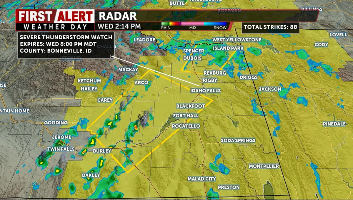
The Storm Prediction Center had severe thunderstorm watches active across the Northern Plains as of Wednesday morning. Those watches covered large parts of North Dakota, plus western South Dakota, the Nebraska Panhandle and southeastern Wyoming.
Warnings were already being issued inside the watch areas, including hail near Oglala and Manderson, South Dakota, and wind-driven storms in North Dakota. SPC guidance also raised peak tornado intensity in parts of the region before the threat shifts farther east later in the day.
Travel Risks On Major Highways
Open prairie along stretches of I-94 and I-90 leaves drivers with little protection once storms line up and surge east. Forecasters said strong crosswinds, heavy rain and poor visibility could create dangerous driving conditions through Wednesday night.
The article urged drivers to check state travel information before heading out, especially in North Dakota and South Dakota. It also warned that overpasses are not safe shelter and that stopping on shoulders can put motorists at risk from passing traffic.
Hail, Wind And Flooding
The forecast includes hail large enough to damage vehicles, with stones around 2 inches possible in stronger storms. Once the storms organize, wind gusts could reach 90 mph in the most intense areas.
Heavy rain could also cause brief flooding where storms repeat over the same areas. The severe weather window is expected to run from Tuesday afternoon into Wednesday night as the storm system moves east.
SpeedReadNews tracks Montana and the surrounding frontier, fast and factual.